Trekking Route “ANELLO DELLE 7 FONTANE”
Informations
The “Ring of the 7 Fountains of Caposele” unfolds along a trail that has been traversed since ancient times by those who often relied solely on the high mountains for their sustenance.
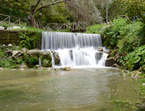
The starting area, just above Piazza Sanità, at the end of the long central street that runs through the town, is located at the foot of Mount Paflagone, a spur of Cervialto (which, at 1809 meters, is one of the highest peaks in Campania), from which the Sele River originates. This area is particularly picturesque and is the lowest point of the entire trail, corresponding to an altitude of 415 m above sea level. Here, greenery is dominant everywhere, and nature retains its unspoiled identity; the fresh, sparkling waters of the karst springs, with a flow of 4000-5500 liters per second, feed the longest aqueduct in the world, known as the Apulian Aqueduct, which serves the entire Puglia region and 260 municipalities (the Springs of Sele are open for visits).
The entire route, of medium difficulty, is 18 km long with a positive elevation gain of 980 meters and can be completed in about 8 hours.
In the Saure area (the wine cellars of Caposele) , the first fountain, known as “Fontana r’ lu Pignuolu,” is encountered; one then ascends steeply to reach the second fountain, “San Biagio,” located at an altitude of 620 meters. The third fountain, situated at a height of 675 meters, is the “Serracino.” On the left, it is possible to visit a well-preserved icehouse where ice was naturally stored for summer use for centuries until the 1970s.
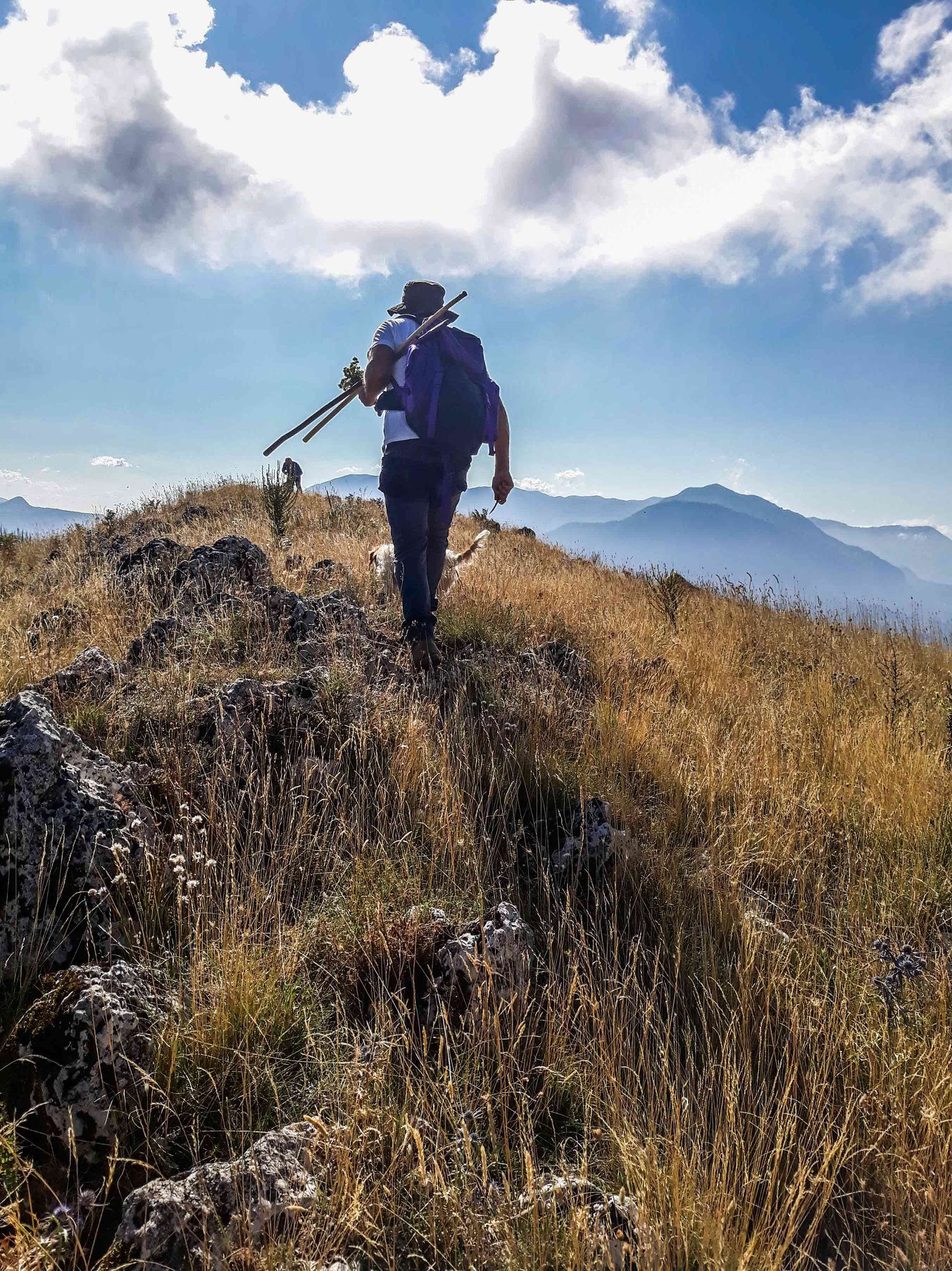
The path continues through the Castagneta plateau and proceeds to the Fontana del Cerasuolo (908 m), exactly 4 km from the starting point. Slowly following the dirt road to the left leads to the spring in the “Mauta” area, at 1150 meters above sea level, passing the forest ranger’s refuge and ascending north to reach the panoramic viewpoint of Lagarelli, where one can admire all of Irpinia to the north, along with the Matese and the distant Maiella; to the east, the view extends to the vast and arid plains of Puglia. The trail continues to the right to reach the Santa Maria plain (in summer, the scent of wild oregano permeates the area, and it is easy to encounter stretches of raspberries) and then arrives at “Fossa r’ Masi”: this place was a focal point for banditry in the 1800s, and the history is described there, representing the highest point of the excursion (1400 m above sea level).
Now the panorama is once again, and even more, spectacular: Cervialto, with its 1809 meters of altitude, appears in all its beauty and grandeur right before you. To the south, the view of the Sele Valley extends to the Alburni and Cilento, with the Cervati and Pollino (Calabria) prominently visible, offering a 360-degree immersion in nature and the mountains.
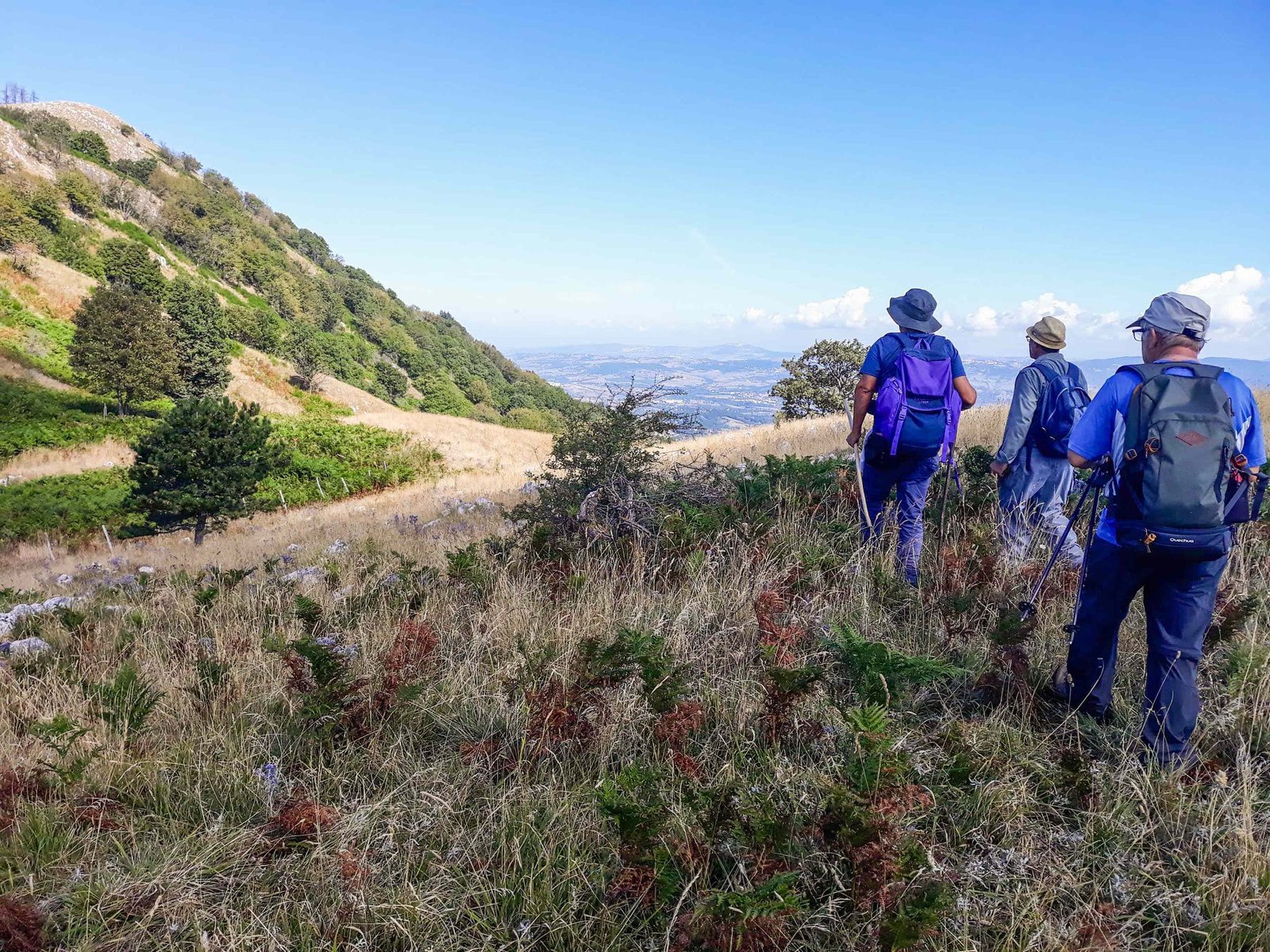
From here, the descent begins: a stretch of 200 meters, completely open and free of trees, leads to a fir grove, a mystical and wild place where a historic cherry tree (“Cerasu r’ Don Peppe”) with enormous roots, over 100 years old, is found—almost unique in Italy at that altitude (1200 m above sea level). Passing through a welcoming and green plateau (Piano Pollaro), the descent continues towards the “Carmn’ edda” fountain located at 1100 m above sea level, and then proceeds along the dirt road descending to 975 meters, where the “Fontana di Canale” is located.
From this point, the trail continues along a steep descent to the panoramic viewpoint overlooking Caposele-Materdomini, situated at an elevation of 640 meters. After enjoying the landscape offered by this section, one can consider the excursion complete because, by returning in the direction of San Biagio, you will arrive back in Caposele at Piazza Sanità.
The main feature that makes the Ring of the 7 Fountains trek in Caposele unique is the abundant presence of water along the route, with the 7 historic fountains providing refreshment and eliminating the need to carry a large amount of water, even on the hottest days. Additionally, during the hike, you will encounter diverse vegetation: starting at 420 m above sea level and reaching about 1400 m, you transition from oak forests to chestnut groves in the first section, then to beech and fir woods in the higher areas. You will thus find yourself admiring various species of flora and, with a bit of luck, also some fauna within just a few kilometers.
In particular, the animals that can be encountered include not only numerous species of birds , reptiles, and amphibians, but also foxes, wild hares, wild boars, badgers, porcupines, squirrels, and even wolves. These animals, having become wary of humans in recent years, have been “spotted” multiple times by fortunate observers. It’s a unique experience.
In summary, you will clearly see: Irpinia with all its towns located on the high hills, the plains of Puglia extending to the Gargano (Puglia), the Matese, the Maiella (Molise), the Vulture (Basilicata), Cervialto, Cilento, Alburni, Cervati, and Pollino (Calabria).
DOWNLOAD route track .gpx a here.
In addition to starting from Piazza Sanità in Caposele, it is also possible to drive to the ring’s belt, thus avoiding a steep ascent on asphalt.


